
EasyScan X10
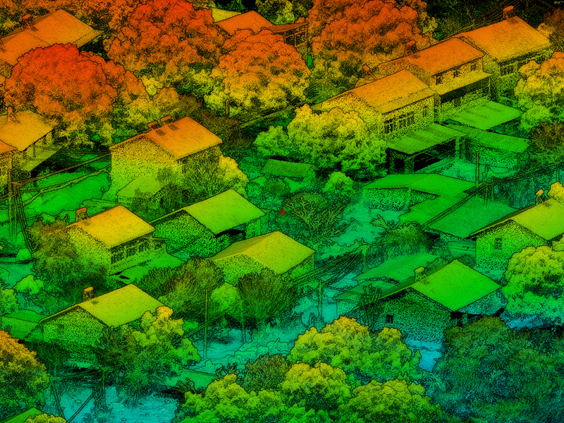
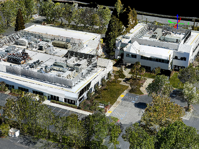
EasyScan X10
Product Features
|
High efficiency |
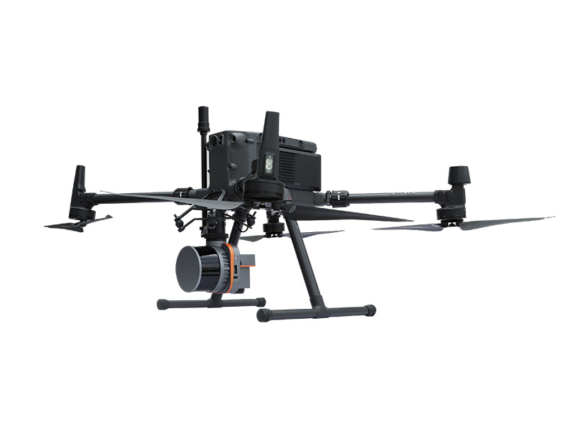
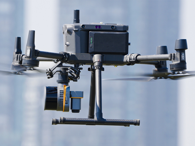
Ultra light aerial survey module, image acquisition not limited by LiDAR measurement range, filght height can be appropriately increased to improve the operation efficiency. | |
|
Not affected by light |
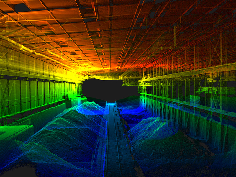
LiDAR is not affected by environment, less side overlap, wider coverage of single flight, data can be easily collected even in the night. | |
|
No signal limitation |
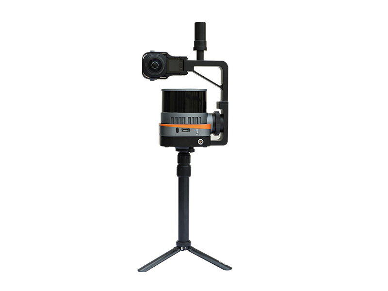
Switch to SLAM mobile scanning mode, no limitation of GNSS signal, indoor and ourdoor data integrated collection makes the 3D data more complete. | |
|
Real-time monitoring |
Stimultaneous acquisition of point cloud and orthophoto to achieve the real-time monitoring of flight trajectory,3D point cloud and images during the whole flight of the system. | |
System Parameter
System Parameter
Operation Performance
Laser Scanning Unit
Pamoramic Camera
IMU
|
weight① |
1260g±10g |
|
Dimension |
ca.L159 W118 D127(mm) |
|
Average Power Consumption |
25W |
|
Power Supply |
10~30V DC |
|
Data Storage |
U-Disk 256GB |
|
Operating Temperature |
-10℃~50℃ |
|
Storage Temperature |
-30℃~60℃ |
|
System Accuracy |
5cm |
|
Compatible Platform |
DJI M300 RTK/Other UAV models |
|
Device Interface |
DJI skyport/other interface available upon request |
|
Typical Flight Height |
70m |
|
Operation Duration② |
33min@M300 RTK UAV |
|
Scan Principle |
Mechanic Rotation Mirror |
|
Laser Class |
Class I |
|
Wavelength |
905nm |
|
Ranging Accuracy |
0.5cm |
|
Horizontal FoV |
120m@60% reflectivity (all channels) |
|
Vertical FoV |
Horizontal 360°, Vertical 30°(-15°~+15°) |
|
Scanning Point Frequency |
Single Echo: 320000pts/s , Dual Echo: 640000pts/s |
|
Echo Mode |
Single Echo/Dual Echo |
SLAM UNIT (OPTIONAL)
|
Weight③ |
1515±10g |
|
Dimension |
ca.L136 W149 D108(mm) |
|
Scanning Mode |
Fix installed |
|
Battery Duration④ |
4h for single battery |
|
Accuracy |
Relative Accuracy 2cm/Absolute Accuracy 5cm |
|
Effective Pixels |
26MP |
|
Sensor Dimension |
23.5x15.7mm |
|
Image Resolution |
6252x4168 |
|
Image Width FoV② |
73° |
|
GSD |
2.3cm@100m Flight Height |
|
GNSS Signal Tracking |
BDS,GPS,GLONASS,GALILEO |
|
Positioning Accuracy(Post-processing) |
Plane: 1cm/Elevation: 2cm |
|
Position Data Rate |
5HZ |
|
Attitude Accuracy(Post-processing) |
heading:0.05°,pitch/roll :0.01° |
|
Attitude Data Rate |
200HZ |
- Commodity name: EasyScan X10
-
表格备注:
Notice: ① Weight includes LiDAR,GNSS,high-precision IMU and aerial metric camera module ② Perpendicular to the flight direction,with the effective FoV angle of LiDAR ③ Weight includes mainbody,SLAM dock,telescopic rod,camera ④ Tested at 25℃~ 27℃; charging time and power supply time will vary according to different conditions
Product Application
Inquiry
Room 302, Area B, Building 21, West Zone, Wuhan CEC Information Harbour, Jiangxia District, Wuhan, China.


