
EasyScan M10
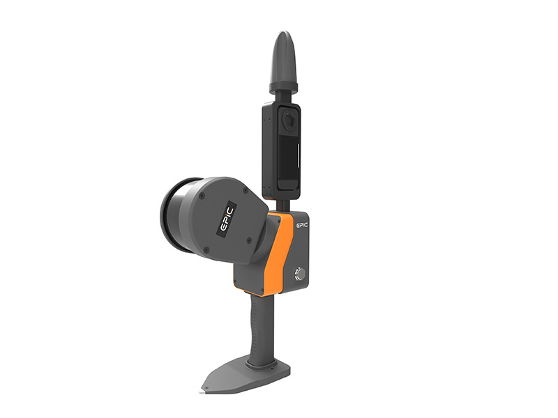
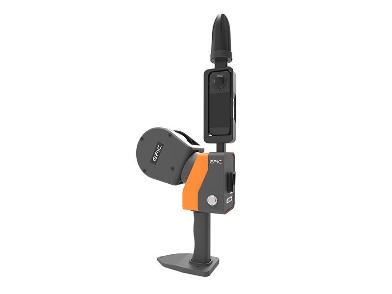

EasyScan M10
Product Introduction
|
Dual modes |
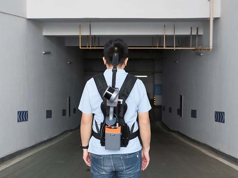
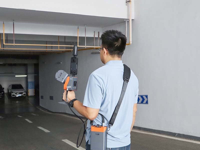
Available in handheld and backpack modes,fexible switch to meet various working scenario demands. |
|
|
Simplified operation |
RTK and camera integrated design,able to obtain true-colorpoint cloud with georeferencing oordinate at once. |
|
|
High precision |
Relative accuracy<3cm,absolute accuracy<5cm | |
|
One-stop post-processing solution |
Automatically removing noisepoints.One-click mesh modeling | |
System Parameter
System Parameter
Operation Performance
Laser Scanning Unit
Pamoramic Camera
IMU
|
Weight |
1.97kg |
|
Storage Temperature |
-20℃~60℃ |
|
Operating Temperature |
-10℃~50℃ |
|
System Consumption |
20W |
|
Power Supply |
10~16.8V DC |
|
Battery Duration |
2.5 (single battery) |
|
Data Storage |
U-Disk 64GB |
|
Compatible Platform |
Handheld/Backpack |
|
Max. Measurement Range |
120m |
|
Laser product Class |
Class I |
|
FoV |
280° x 360° |
|
Wavelength |
905nm |
|
Camera FoV |
360° |
|
Scanning Point Frequency |
320000pts/s |
|
Relative Precision |
3cm |
|
Absolute Accuracy |
5cm |
|
Camera Resolution |
72MP(The camera is only available in backpack mode, which will be released later.) |
- Commodity name: EasyScan M10
Product Application
Inquiry
Room 302, Area B, Building 21, West Zone, Wuhan CEC Information Harbour, Jiangxia District, Wuhan, China.


