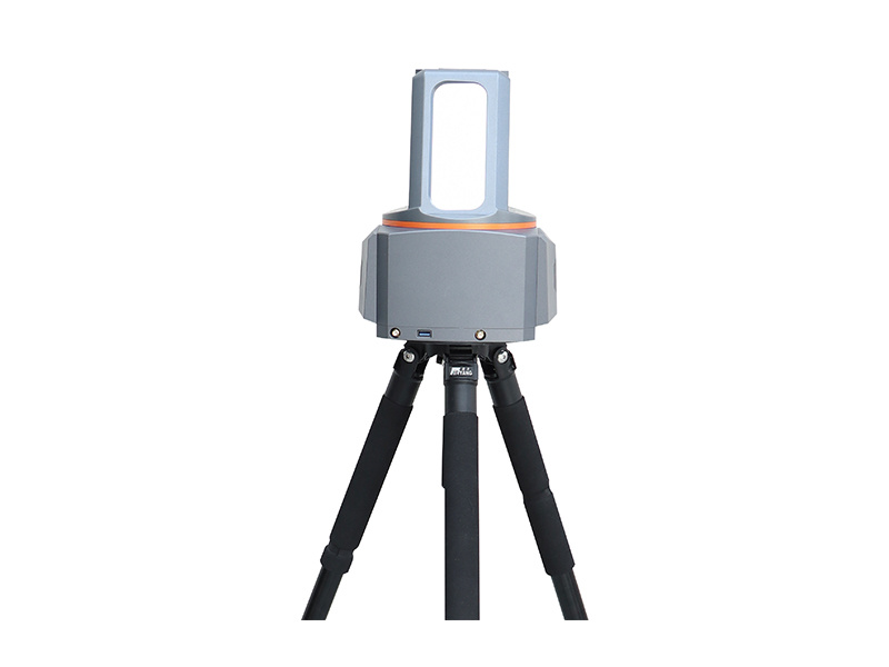
Terrestrial 3D laser scanner
AXIM T150
The AXIM T150 integrates multiple sensors to capture high-accuracy point clouds and HDR panoramic imagery. Combined with field data acquisition software and professional point cloud processing software, it provides a streamlined workflow from automatic on-site pre-registration of multiple scans to large-scale point cloud processing and final deliverables. By connecting field data capture with office processing, the T150 reduces manual processing and shortens turnaround time, delivering reliable, high-quality 3D data for surveying and engineering applications.
LiDAR Sensor
EliteScan P30
The P30 is an in-house developed, short-range LiDAR sensor engineered for applications that demand exceptional accuracy at close range. It provides a maximum measurement range of 30 m with range accuracy better than 2 mm, making it ideal for high-detail 3D data acquisition. With a scanning capability of up to 250 lines per second and a full 360° field of view, the P30 delivers dense, uniform point cloud coverage for efficient and reliable data capture. Its compact form factor, combined with strong system compatibility, enables easy integration into a wide range of platforms and mapping systems. The P30 is well suited for terrain mapping, tunnel surveying, urban 3D modeling, and other applications requiring high-precision spatial data at short distances.
EliteScan P500
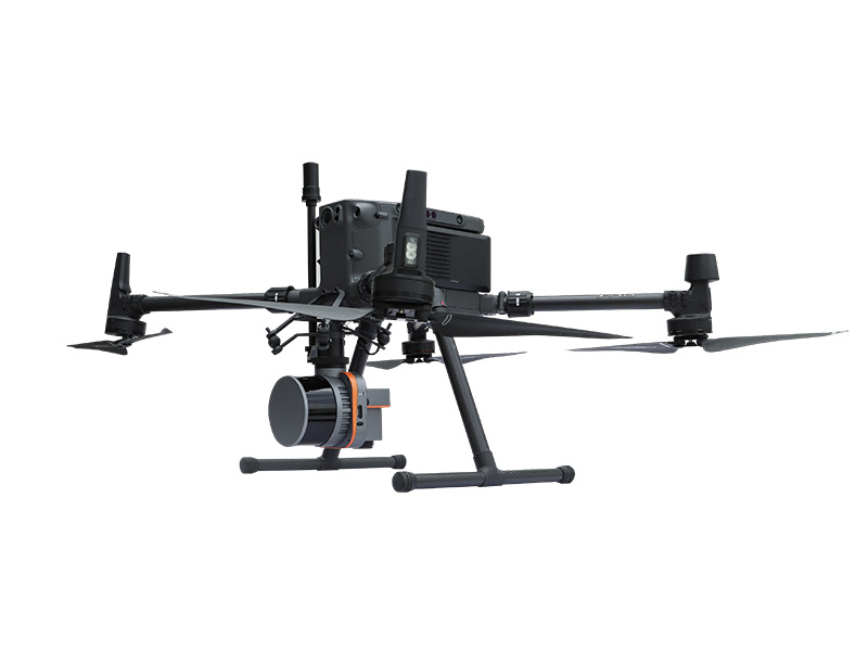
The P500 is a high-performance, in-house developed mid-range UAV LiDAR sensor weighing just 930 g. Purpose-built for multi-rotor and VTOL platforms, it delivers a 1,450 m range and up to 7 returns per pulse, ensuring superior vegetation penetration and millimeter-level precision within 100 m. With an open SDK and robust field stability, the P500 is ideal for topographic mapping, forestry surveys, and infrastructure inspection, delivering the perfect balance of lightweight design and integration flexibility.
Airborne LiDAR system
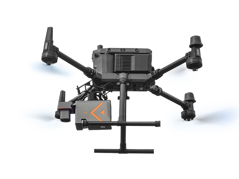
EliteScan W50
W50 is designed as a highly integrated airborne LiDAR system and its core parts are fully developed by EPiC LiDAR, including high-performance LiDAR, IMU, and aerial camera. It features a long scanning range, lightweight, strong penetration, and higher working efficiency than ever, which can deal with the most challenging and complex scenarios.
Handheld 3D SLAM
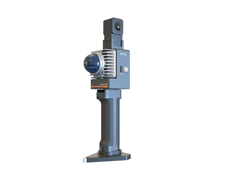
EasyScan M05
M05 adopts a more lightweight and compact industrial design, featuring a brand new hemispherical scanning mode, devoid of a single cable. Its powerful SLAM algorithm makes data collection more effortless and reliable for operators, acquiring point cloud, image, and GNSS data in one go, catering to the application, and scenario demands of diverse customer groups.
EasyScan X10
The system integrates a variety of sensors such as LiDAR,GNSS,high-precision IMU and aerial metric camera. With the distributed structure first introduced in the industry and special accessories,it can be disassembled into 4 different independent modes of fully aerial survey (LiDAR+camera),SLAM,airborne LiDAR and airborne camera.One device, multi-purpose,can easily meet the requirements of different standards of data acquisition under different scenarios.
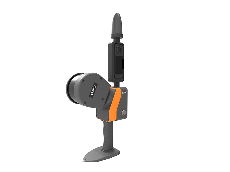
EasyScan M10
A new generation of handheld 3D SLAM EasyScan M10: With 360°rotate scanning mode and unique 3D SLAM algorithm technology, it can acquire high-precision and high density 3D color point cloud in the adjacent space quickly and easily in the environment without GNSS.
EliteScan T1000
The long range 3D laser scanner is designed and developed independently. The whole system is compact and portable, which can collect the 3D data of the ground in a wider range quickly, to ensure the high-quality point cloud collection even in complex and challenging environments.
Product
EasyScan T10
EasyScan W30
EliteScan W100
Application
Smart City
Smart Intelligence
Smart Grid
BIM
Topographic Survey
Water Conservancy & Hydrology
Smart Mining
Nature Resource
Support
Q&A
Customized Solution
Quality Commitment
video
News
Blog
Article
About Us
Company profile
Advantages
Honor
marketing@epiclidar.cn
Room 302, Area B, Building 21, West Zone, Wuhan CEC Information Harbour, Jiangxia District, Wuhan, China.
Website: www.epiclidar.cn
WhatsApp
Email
Email online
Media
Follow us
TOP